
Additional Artworks
From Norwood Creech
-
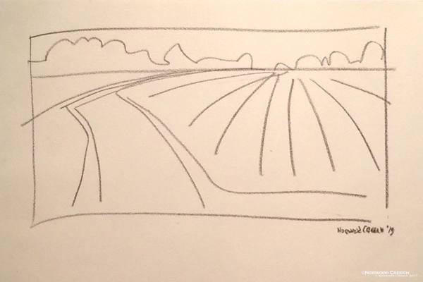
Simple View - Spawn de Milo Series, 2013
china marker on paper
10 x 17 in (25.4 x 43.18 cm)
-
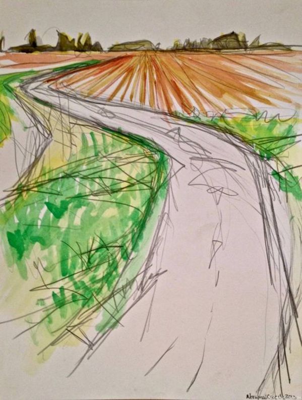
Spawn de Milo - Vertical Sketch (on location), St Francis - Little River Floodway / The Sunken Lands, Poinsett County, Arkansas, 2013
graphite, watercolor on paper
16 x 12 in (40.64 x 30.48 cm)
-

Golden Window, Wilson Cotton Gin, Wilson, Mississippi County, Arkansas, 2013
Digital Photograph
-

B/W Strawflower, 2013
photograph
-
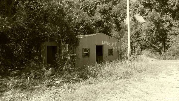
Catfish Shack, Cache River Bottoms, Arkansas Hwy 14, West of Amagon, Jackson County, Arkansas, 2012
Digital Photograph
-
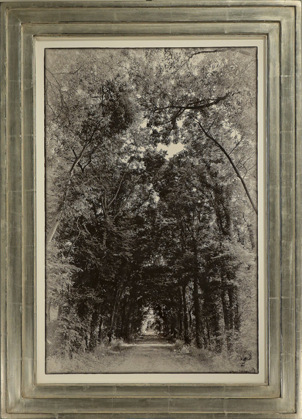
Looking Down the Dump, St. Francis - Little River Floodway / The Sunken Lands, Poinsett County, Arkansas, 2012
Digital Photograph
19 x 13 in (48.26 x 33.02 cm)
-
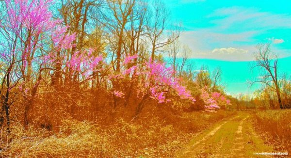
Tea Stained - Electric Redbuds, St Francis-Little River Floodway / Sunken Lands, Poinsett County, Arkansas, Spring 2012, 2012
Digital Photograph
-
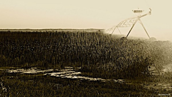
Pivot Rain (Hwy 14 near Weona, Looking East to Crowley's Ridge), Poinsett County, Arkansas - HAM, 2012
photograph
10.75 x 19 in (27.31 x 48.26 cm)