
In 1938, the Homeowner’s Loan Corporation created so called “residential security maps” to guide entities toward practicing “responsible lending.” Neighborhoods deemed “hazardous” for lending were outlined in red—a process we know today as redlining. These maps were used as the basis to systematically deny mortgages and services to residents of redlined neighborhoods, regardless of individual creditworthiness. Predominately Black, urban neighborhoods were redlined. Just so you know this was a thing, a real thing. Even though most of the laws have been repealed, the practice is still in place in many places. You wonder why there are impoverished (what you call the ghetto) areas? They were planned and it snowballed from there.
Additional Artworks
From Dellis Frank
-

Urban Nesting, 2021
-
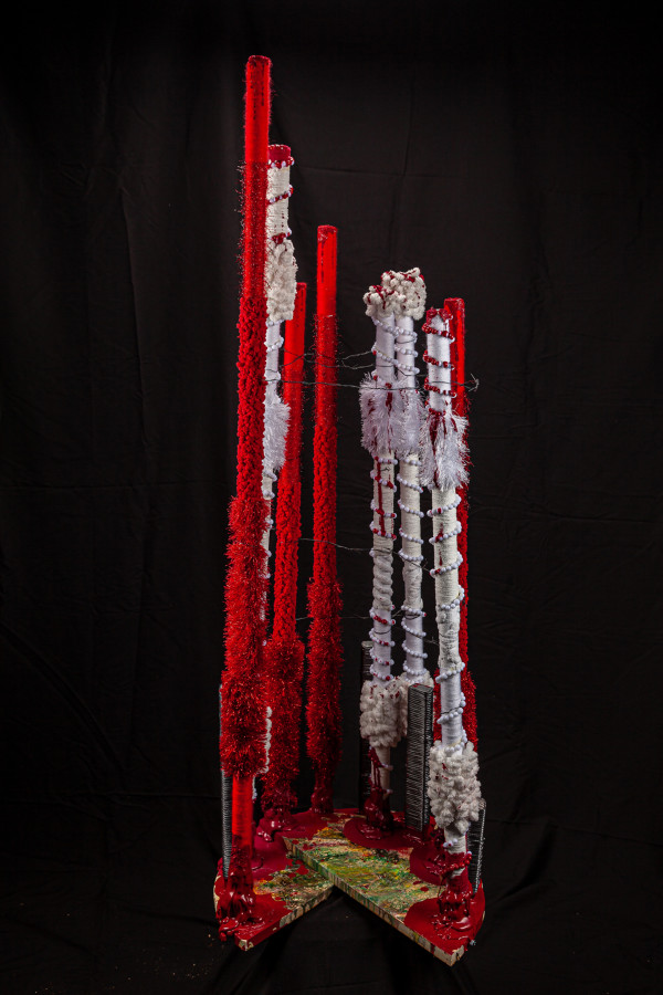
Unequal Justice, 2021
Found objects, wire, fiber, wire acrylic, wood
53 x 20 x 18 in
$1,200
-
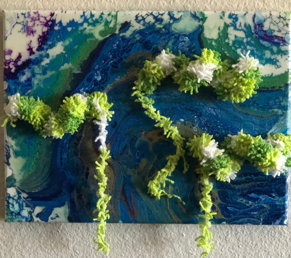
Without Water There Is No Life, 2021
Acrylic On Canvas, Fiber
10 x 12 x 1.5 in
$175
-

Cycle, 2021
Repurposed items, fiber, lace, wire, beads, acrylic
47 x 14 x 22 in
$1,500
-
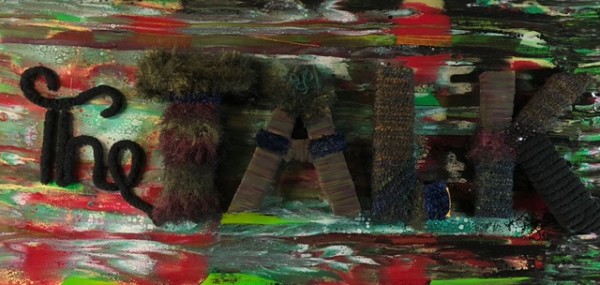
The Talk, 2020
Acrylic On Canvas, Fiber, Fabric
24 x 48 x 4 in
$1,200
-
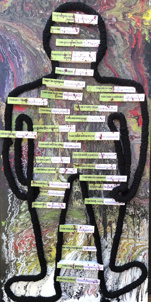
See Me, 2020
Acrylic On Canvas, Fiber, Paper, Wood, Styrofoam
48 x 24 x 5 in
$1,000
-

Broken Promises Dashed Dreams, 2020
Acrylic On Canvas, Fiber, wire, beads repurposed items
25 x 18 x 6 in
$1,200
-
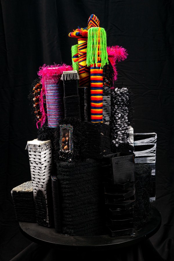
Black Phoenix, 2020
Repurposed items, fiber, beads, crustals on a wooden base
25 x 33 x 33 in
$2,500